Church Road, Pound Hill, Crawley
Introduction
The photograph on this page of Church Road, Pound Hill, Crawley by Robin Webster as part of the Geograph project.
The Geograph project started in 2005 with the aim of publishing, organising and preserving representative images for every square kilometre of Great Britain, Ireland and the Isle of Man.

There are currently over 7.5m images from over 14,400 individuals and you can help contribute to the project by visiting https://www.geograph.org.uk
Church Road, Pound Hill, Crawley
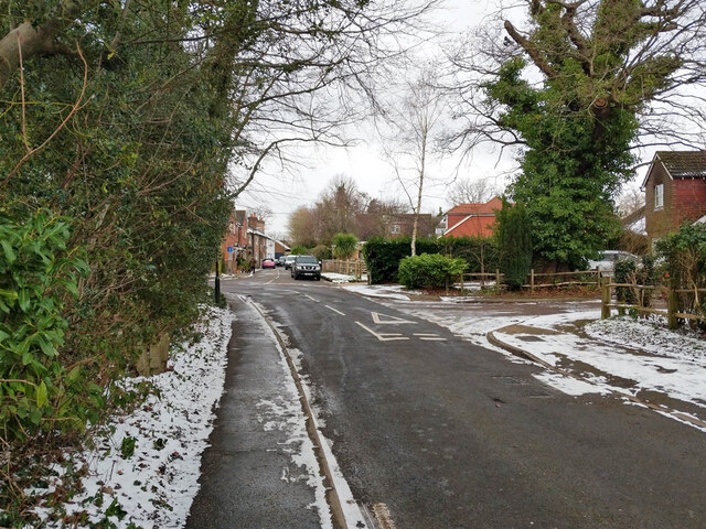
Image: © Robin Webster Taken: 10 Feb 2021
The through route sweeps round left into Mayfield. Before New Town development Church Road continued straight on as a through route, but this is now blocked just before Turner's Hill Road.
Images are licensed for reuse under creativecommons.org/licenses/by-sa/2.0
Image Location


Leaflet Map data © OpenStreetMap
Latitude
51.115117
Longitude
-0.143682