Llanycil church, near Bala
Introduction
The photograph on this page of Llanycil church, near Bala by Robin Drayton as part of the Geograph project.
The Geograph project started in 2005 with the aim of publishing, organising and preserving representative images for every square kilometre of Great Britain, Ireland and the Isle of Man.

There are currently over 7.5m images from over 14,400 individuals and you can help contribute to the project by visiting https://www.geograph.org.uk
Llanycil church, near Bala
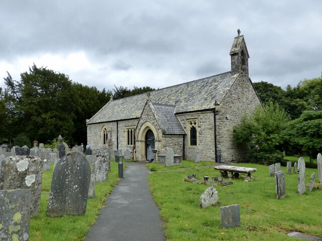
Image: © Robin Drayton Taken: 13 Aug 2018
St Bruno’s church, now deconsecrated, is owned by the Bible Society and houses the Mary Jones World visitor and education centre. For more information about Mary Jones see https://www.geograph.org.uk/photo/2719547 .
Images are licensed for reuse under creativecommons.org/licenses/by-sa/2.0
Image Location


Leaflet Map data © OpenStreetMap
Latitude
52.900329
Longitude
-3.615048