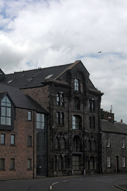
3 Dock Road, Tweedmouth
Introduction
The photograph on this page of 3 Dock Road, Tweedmouth by Jo and Steve Turner as part of the Geograph project.
The Geograph project started in 2005 with the aim of publishing, organising and preserving representative images for every square kilometre of Great Britain, Ireland and the Isle of Man.
There are currently over 7.5m images from over 14,400 individuals and you can help contribute to the project by visiting https://www.geograph.org.uk

Image: © Jo and Steve Turner Taken: 21 Jun 2014
Tweedmouth Character Appraisal informs us this was the former warehouse of Border Brewery Co. Ltd and describes it as 'the area’s tallest, most impressive commercial building'. However the 1922-24 OS map appears to show it as a 'Flour Mill' (connected to Mill Strand) with what appears to be a conveyor over the road to a railway line. Similarly the less detailed 1897-99 and 1938-47 maps also show this conveyor. It is not shown on the 1860-66 map but a building is shown here, unconnected to the Mill Strand building. As the OS map now numbers this '1 - 9 Mill Wharf' (an indicator to its previous use) I assume it is the flats or holiday homes, part of the development in the 1999 planning application.

