St Helier: Railway line to Morden South
Introduction
The photograph on this page of St Helier: Railway line to Morden South by Nigel Cox as part of the Geograph project.
The Geograph project started in 2005 with the aim of publishing, organising and preserving representative images for every square kilometre of Great Britain, Ireland and the Isle of Man.

There are currently over 7.5m images from over 14,400 individuals and you can help contribute to the project by visiting https://www.geograph.org.uk
St Helier: Railway line to Morden South
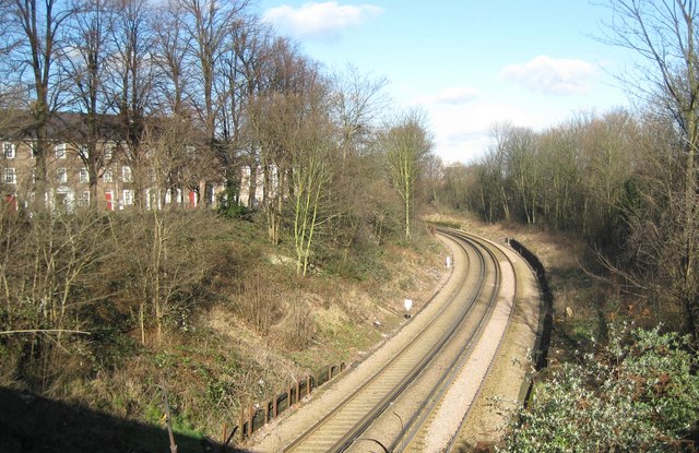
Image: © Nigel Cox Taken: 30 Jan 2008
Viewed from the Green Lane bridge on the north side of St Helier station this is the railway leading to and from Morden South station. Both stations are in this grid square, and are only about 700 metres apart.
Images are licensed for reuse under creativecommons.org/licenses/by-sa/2.0
Image Location
Latitude
51.390871
Longitude
-0.197655