Westmorland Street
Introduction
The photograph on this page of Westmorland Street by Anne Burgess as part of the Geograph project.
The Geograph project started in 2005 with the aim of publishing, organising and preserving representative images for every square kilometre of Great Britain, Ireland and the Isle of Man.

There are currently over 7.5m images from over 14,400 individuals and you can help contribute to the project by visiting https://www.geograph.org.uk
Westmorland Street
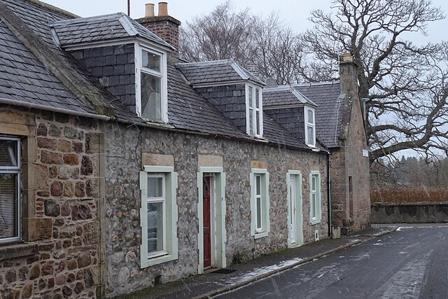
Image: © Anne Burgess Taken: 3 Feb 2021
The last cottage in Westmorland Street is very traditional with walls built of rubble, but the dormers don't match.
Images are licensed for reuse under creativecommons.org/licenses/by-sa/2.0
Image Location


Leaflet Map data © OpenStreetMap
Latitude
57.614256
Longitude
-3.094662