End of Thorne Park Road
Introduction
The photograph on this page of End of Thorne Park Road by Derek Harper as part of the Geograph project.
The Geograph project started in 2005 with the aim of publishing, organising and preserving representative images for every square kilometre of Great Britain, Ireland and the Isle of Man.

There are currently over 7.5m images from over 14,400 individuals and you can help contribute to the project by visiting https://www.geograph.org.uk
End of Thorne Park Road
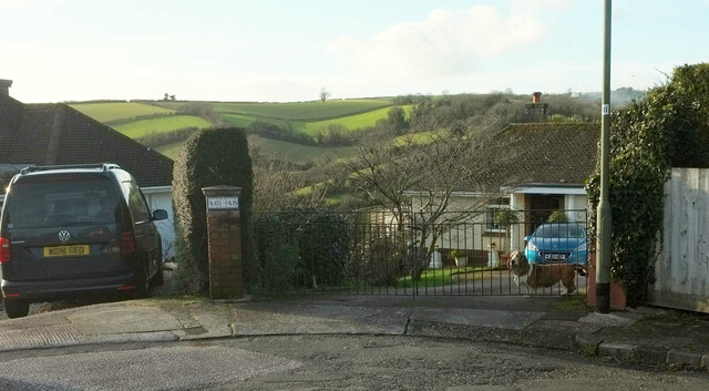
Image: © Derek Harper Taken: 3 Feb 2021
I was prompted to take this by the barking hound at the gate. It shows the turning circle at the end of the cul-de-sac, with a view between the houses across the Cockington valley to combes by Fruit Farm Copse. The wall pier between the properties has a pair of attractive street numbers as a bonus.
Images are licensed for reuse under creativecommons.org/licenses/by-sa/2.0
Image Location


Leaflet Map data © OpenStreetMap
Latitude
50.466639
Longitude
-3.558602