Ings Lane
Introduction
The photograph on this page of Ings Lane by Gordon Hatton as part of the Geograph project.
The Geograph project started in 2005 with the aim of publishing, organising and preserving representative images for every square kilometre of Great Britain, Ireland and the Isle of Man.

There are currently over 7.5m images from over 14,400 individuals and you can help contribute to the project by visiting https://www.geograph.org.uk
Ings Lane
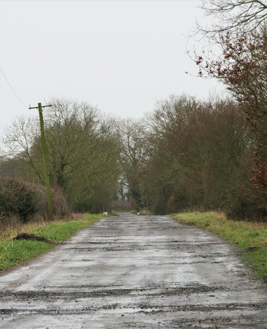
Image: © Gordon Hatton Taken: 7 Feb 2021
As well as a farm access lane, this is also the route for three recreational paths, namely the Ebor Way, the Centenary Way and the Foss Walk, none of which would be very appealing on a damp and dreary February day.
Images are licensed for reuse under creativecommons.org/licenses/by-sa/2.0
Image Location
Latitude
54.065842
Longitude
-1.015962