Lala's, Leeds Road, Thornbury
Introduction
The photograph on this page of Lala's, Leeds Road, Thornbury by Stephen Craven as part of the Geograph project.
The Geograph project started in 2005 with the aim of publishing, organising and preserving representative images for every square kilometre of Great Britain, Ireland and the Isle of Man.

There are currently over 7.5m images from over 14,400 individuals and you can help contribute to the project by visiting https://www.geograph.org.uk
Lala's, Leeds Road, Thornbury
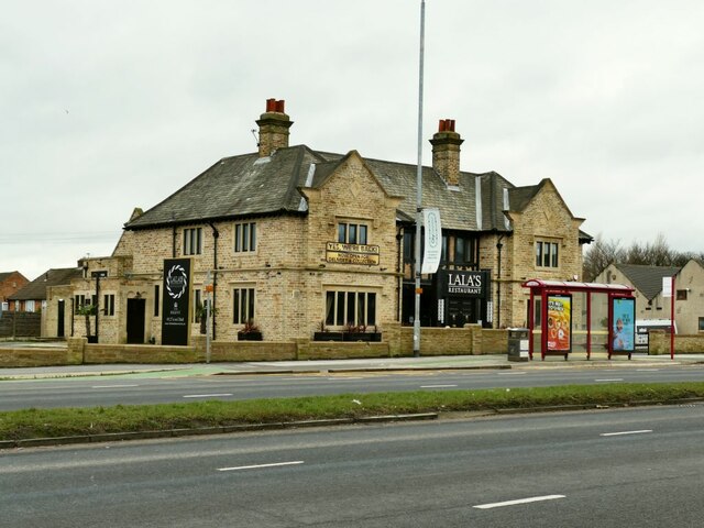
Image: © Stephen Craven Taken: 30 Jan 2021
The restaurant was originally a pub, and since 2014 has variously been known as the Farmers Image, the King's Table Image, the Lahori Image and Papaya Image Five different incarnations in seven years - maybe the location on a busy dual carriageway is not conducive to trade?
Images are licensed for reuse under creativecommons.org/licenses/by-sa/2.0
Image Location
Latitude
53.802552
Longitude
-1.698875