Bernard Street
Introduction
The photograph on this page of Bernard Street by Ian Capper as part of the Geograph project.
The Geograph project started in 2005 with the aim of publishing, organising and preserving representative images for every square kilometre of Great Britain, Ireland and the Isle of Man.

There are currently over 7.5m images from over 14,400 individuals and you can help contribute to the project by visiting https://www.geograph.org.uk
Bernard Street
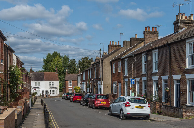
Image: © Ian Capper Taken: 11 Sep 2020
Street of mainly terraced housing built in the mid - late 19th Century. The terrace on the right in this photo has a plaque "Warwick Cottages 1882".
Images are licensed for reuse under creativecommons.org/licenses/by-sa/2.0
Image Location
Latitude
51.757729
Longitude
-0.337746