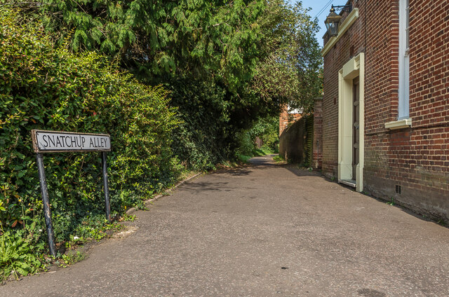
Snatchup Alley
Introduction
The photograph on this page of Snatchup Alley by Ian Capper as part of the Geograph project.
The Geograph project started in 2005 with the aim of publishing, organising and preserving representative images for every square kilometre of Great Britain, Ireland and the Isle of Man.
There are currently over 7.5m images from over 14,400 individuals and you can help contribute to the project by visiting https://www.geograph.org.uk

Image: © Ian Capper Taken: 11 Sep 2020
Once a medieval thoroughfare, now a path running behind the former Cricketers pub and the Jolly Sailor, with its role as a road replaced by Stonecross. For many years nameless, research by Kate Morris of the St Albans and Hertfordshire Architectural and Archaeological Society led to the rediscovery of its original name and it was formally renamed in October 2006. The meaning behind the name is uncertain.

