The end of Barkby Holt Lane
Introduction
The photograph on this page of The end of Barkby Holt Lane by Tim Heaton as part of the Geograph project.
The Geograph project started in 2005 with the aim of publishing, organising and preserving representative images for every square kilometre of Great Britain, Ireland and the Isle of Man.

There are currently over 7.5m images from over 14,400 individuals and you can help contribute to the project by visiting https://www.geograph.org.uk
The end of Barkby Holt Lane
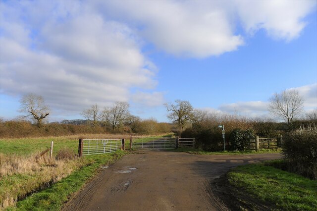
Image: © Tim Heaton Taken: 1 Feb 2021
The lane continues ahead as a bridleway towards Bagrave Hall, where it joins the Midshires Way bridleway. The drive up to Barkby Hall Farm is on the right.
Images are licensed for reuse under creativecommons.org/licenses/by-sa/2.0
Image Location
Latitude
52.682007
Longitude
-1.018056