Boundary Road
Introduction
The photograph on this page of Boundary Road by Ian Capper as part of the Geograph project.
The Geograph project started in 2005 with the aim of publishing, organising and preserving representative images for every square kilometre of Great Britain, Ireland and the Isle of Man.

There are currently over 7.5m images from over 14,400 individuals and you can help contribute to the project by visiting https://www.geograph.org.uk
Boundary Road
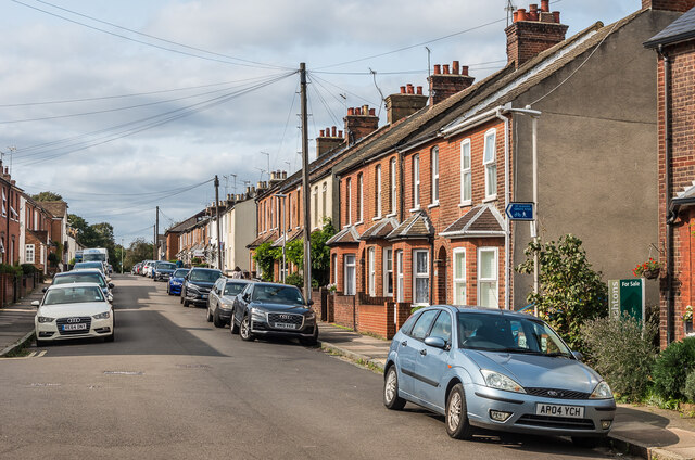
Image: © Ian Capper Taken: 11 Sep 2020
Housing in the mainly late 19th/early 20th Century development of "Sandridge New Town", an area of land between Sandpit Lane and Sandridge Road, originally outside the boundaries of St Albans and in the parish of Sandridge, prior to the extension of the municipal area in 1879, just south of where Boundary Road was laid out.
Images are licensed for reuse under creativecommons.org/licenses/by-sa/2.0
Image Location
Latitude
51.759619
Longitude
-0.327128