Bend in Lyme Close, Axminster
Introduction
The photograph on this page of Bend in Lyme Close, Axminster by Jaggery as part of the Geograph project.
The Geograph project started in 2005 with the aim of publishing, organising and preserving representative images for every square kilometre of Great Britain, Ireland and the Isle of Man.

There are currently over 7.5m images from over 14,400 individuals and you can help contribute to the project by visiting https://www.geograph.org.uk
Bend in Lyme Close, Axminster
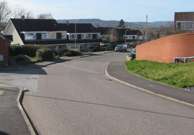
Image: © Jaggery Taken: 9 Mar 2017
Ahead for Lea Combe and Fosseway Close. The Phillips Court junction is on the left. Behind the camera for Axminster Fire Station https://www.geograph.org.uk/photo/5306661 and the B3261 Lyme Road.
Images are licensed for reuse under creativecommons.org/licenses/by-sa/2.0
Image Location
Latitude
50.779029
Longitude
-2.996066