Playground and field, East Goscote
Introduction
The photograph on this page of Playground and field, East Goscote by Tim Heaton as part of the Geograph project.
The Geograph project started in 2005 with the aim of publishing, organising and preserving representative images for every square kilometre of Great Britain, Ireland and the Isle of Man.

There are currently over 7.5m images from over 14,400 individuals and you can help contribute to the project by visiting https://www.geograph.org.uk
Playground and field, East Goscote
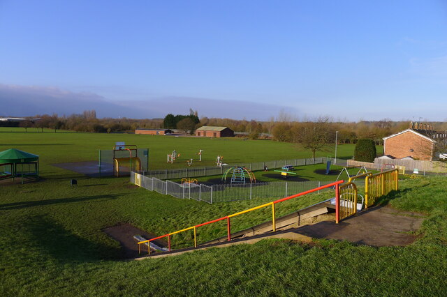
Image: © Tim Heaton Taken: 1 Feb 2021
Flat ground on the Wreake floodplain
Images are licensed for reuse under creativecommons.org/licenses/by-sa/2.0
Image Location
Latitude
52.717027
Longitude
-1.057389