Ordnance Survey Cut Mark
Introduction
The photograph on this page of Ordnance Survey Cut Mark by Adrian Dust as part of the Geograph project.
The Geograph project started in 2005 with the aim of publishing, organising and preserving representative images for every square kilometre of Great Britain, Ireland and the Isle of Man.

There are currently over 7.5m images from over 14,400 individuals and you can help contribute to the project by visiting https://www.geograph.org.uk
Ordnance Survey Cut Mark
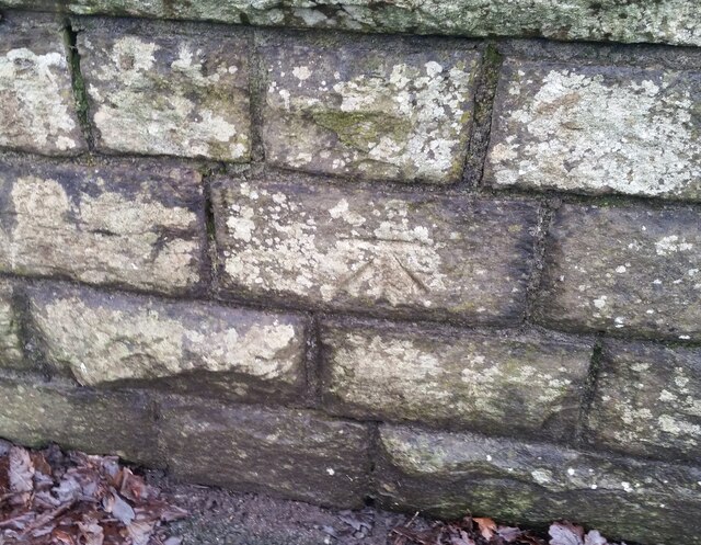
Image: © Adrian Dust Taken: 5 Feb 2021
This OS cut mark can be found on NW buttress/wall of the old railway bridge which runs under High Street. It marks a point 179.478m above mean sea level.
Images are licensed for reuse under creativecommons.org/licenses/by-sa/2.0
Image Location
Latitude
51.676325
Longitude
-3.192656