Whalebone Arch
Introduction
The photograph on this page of Whalebone Arch by Sandy Gerrard as part of the Geograph project.
The Geograph project started in 2005 with the aim of publishing, organising and preserving representative images for every square kilometre of Great Britain, Ireland and the Isle of Man.

There are currently over 7.5m images from over 14,400 individuals and you can help contribute to the project by visiting https://www.geograph.org.uk
Whalebone Arch
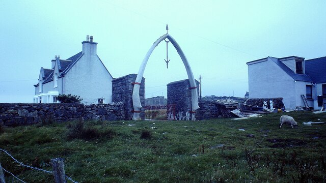
Image: © Sandy Gerrard Taken: Unknown
View of the arch taken in 1981. The arch looks rather different these days https://www.geograph.org.uk/photo/6722498
Images are licensed for reuse under creativecommons.org/licenses/by-sa/2.0
Image Location


Leaflet Map data © OpenStreetMap
Latitude
58.334202
Longitude
-6.628681