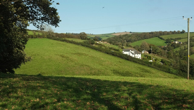
Catch meadow at Little Weeke
Introduction
The photograph on this page of Catch meadow at Little Weeke by Derek Harper as part of the Geograph project.
The Geograph project started in 2005 with the aim of publishing, organising and preserving representative images for every square kilometre of Great Britain, Ireland and the Isle of Man.
There are currently over 7.5m images from over 14,400 individuals and you can help contribute to the project by visiting https://www.geograph.org.uk

Image: © Derek Harper Taken: 13 Sep 2020
Looking left from Image "An extensive catch meadow of probable 19th century date is visible as a series of earthwork ditches on aerial photographs ... Catch meadows provided a simple, inexpensive and effective form of irrigation ... water was diverted from a source such as a pond, river, spring or spring-fed stream and passed along the meadow slopes via one or more of the gutters, which was then caused to overflow. The lower, roughly parallel gutters then ‘caught’ and redistributed water passing it evenly over the surface of a meadow below. The gently flowing water prevented the ground freezing in winter and encouraged early growth in spring, thereby providing extra feed for livestock, particularly important during the hungry gap of the March and April. The catch meadow covers an area of approximately 5.8 hectares of northwest and south facing slope. The system comprises a series of gutters which measure less than 2m in width and appear to tap a number of spring-fed streams that rise to the west and south ..." https://www.heritagegateway.org.uk/Gateway/Results_Single.aspx?uid=MDV105218&resourceID=104 .

