Farm buildings at Killiechassie, 1985
Introduction
The photograph on this page of Farm buildings at Killiechassie, 1985 by Trevor Littlewood as part of the Geograph project.
The Geograph project started in 2005 with the aim of publishing, organising and preserving representative images for every square kilometre of Great Britain, Ireland and the Isle of Man.

There are currently over 7.5m images from over 14,400 individuals and you can help contribute to the project by visiting https://www.geograph.org.uk
Farm buildings at Killiechassie, 1985
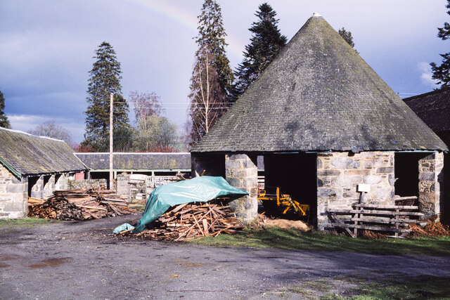
Image: © Trevor Littlewood Taken: 5 Apr 1985
The buildings at Killiechassie include a circular structure, presumably once a horse gin.
Images are licensed for reuse under creativecommons.org/licenses/by-sa/2.0
Image Location


Leaflet Map data © OpenStreetMap
Latitude
56.631413
Longitude
-3.854743