Path down to Honeybourne Road
Introduction
The photograph on this page of Path down to Honeybourne Road by Stephen Craven as part of the Geograph project.
The Geograph project started in 2005 with the aim of publishing, organising and preserving representative images for every square kilometre of Great Britain, Ireland and the Isle of Man.

There are currently over 7.5m images from over 14,400 individuals and you can help contribute to the project by visiting https://www.geograph.org.uk
Path down to Honeybourne Road
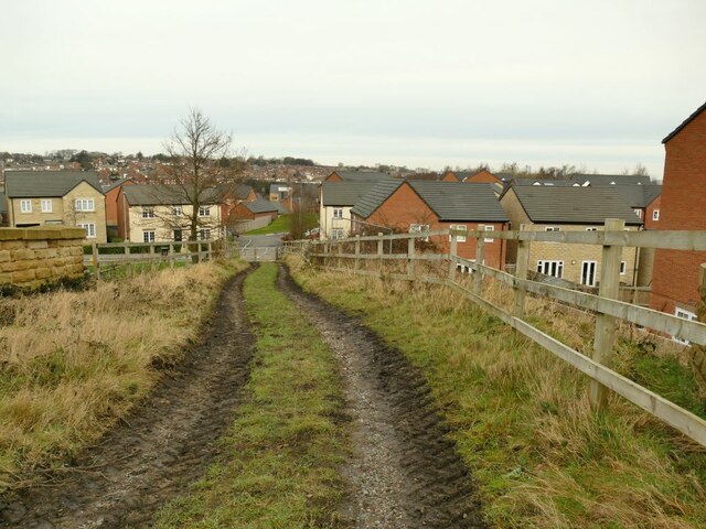
Image: © Stephen Craven Taken: 31 Jan 2021
The public footpath crosses an old railway bridge then descends to a new housing estate built on former railway land.
Images are licensed for reuse under creativecommons.org/licenses/by-sa/2.0
Image Location
Latitude
53.776886
Longitude
-1.591018