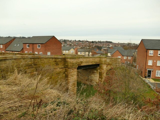
Footbridge off Honeybourne Road
Introduction
The photograph on this page of Footbridge off Honeybourne Road by Stephen Craven as part of the Geograph project.
The Geograph project started in 2005 with the aim of publishing, organising and preserving representative images for every square kilometre of Great Britain, Ireland and the Isle of Man.
There are currently over 7.5m images from over 14,400 individuals and you can help contribute to the project by visiting https://www.geograph.org.uk

Image: © Stephen Craven Taken: 31 Jan 2021
The bridge crosses the course of a former freight railway line, and originally gave access to two small coal pits on this side. It now carries a public footpath to Gelderd Road, as well as giving access to grazing land Image It was cleaned up as part of the recent housing development on former railway land. See also Image A photo of it pre-restoration can be seen at https://westleedsdispatch.com/marks-history-reminders-of-past-in-new-wortley-housing-estate/

