Fields near Stallington
Introduction
The photograph on this page of Fields near Stallington by Jonathan Clitheroe as part of the Geograph project.
The Geograph project started in 2005 with the aim of publishing, organising and preserving representative images for every square kilometre of Great Britain, Ireland and the Isle of Man.

There are currently over 7.5m images from over 14,400 individuals and you can help contribute to the project by visiting https://www.geograph.org.uk
Fields near Stallington
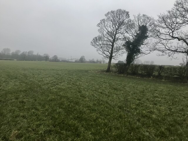
Image: © Jonathan Clitheroe Taken: 4 Feb 2021
A quick gate-jump into a saturated field was required to capture this image in what is a fairly inaccessible square. The former Creda electrical works plant in Blythe Bridge can be deciphered through the gloom.
Images are licensed for reuse under creativecommons.org/licenses/by-sa/2.0
Image Location
Latitude
52.958066
Longitude
-2.077663