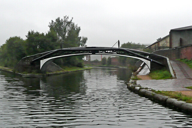
Birmingham Canal Navigations at Smethwick Junction
Introduction
The photograph on this page of Birmingham Canal Navigations at Smethwick Junction by Roger Kidd as part of the Geograph project.
The Geograph project started in 2005 with the aim of publishing, organising and preserving representative images for every square kilometre of Great Britain, Ireland and the Isle of Man.
There are currently over 7.5m images from over 14,400 individuals and you can help contribute to the project by visiting https://www.geograph.org.uk

Image: © Roger Kidd Taken: 26 Aug 2010
Looking from Telford's new (1824-1838) main line, north-west along Brindley's old (1768-1772) meandering main line. Four hundred metres ahead are the three Smethwick Locks. There were originally six, but in 1789-90 John Smeaton and James Bough lowered the summit level by eighteen feet (5·5 metres) so three of the locks were abandoned. Off to the left, Telford's new line is much straighter and wider and shorter, utilising deep cuttings and embankments, and only using three locks (at Tipton Green).

