The Red House, Strathpeffer
Introduction
The photograph on this page of The Red House, Strathpeffer by Richard Dorrell as part of the Geograph project.
The Geograph project started in 2005 with the aim of publishing, organising and preserving representative images for every square kilometre of Great Britain, Ireland and the Isle of Man.

There are currently over 7.5m images from over 14,400 individuals and you can help contribute to the project by visiting https://www.geograph.org.uk
The Red House, Strathpeffer
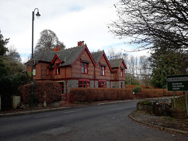
Image: © Richard Dorrell Taken: 2 Feb 2021
This Category B listed house faces onto the A834 at the eastern end of Strathpeffer village. Built in the late 19th century as a pair of semi-detached houses, it is now all one house. The house takes its name from the brick-coloured tiles and maroon joinery used in its construction. It is a rare example of a tile-hung Arts and Crafts style house in the Highlands. The walling material recalls the style of architect George Devey, whose work was mostly in south east England.
Images are licensed for reuse under creativecommons.org/licenses/by-sa/2.0
Image Location
Latitude
57.590588
Longitude
-4.535627