
Green Field South of Tailend Moss
Introduction
The photograph on this page of Green Field South of Tailend Moss by Ian Dodds as part of the Geograph project.
The Geograph project started in 2005 with the aim of publishing, organising and preserving representative images for every square kilometre of Great Britain, Ireland and the Isle of Man.

There are currently over 7.5m images from over 14,400 individuals and you can help contribute to the project by visiting https://www.geograph.org.uk
Green Field South of Tailend Moss
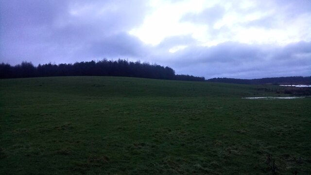
Image: © Ian Dodds Taken: 29 Jan 2021
Tailend Moss is a protected peat bog, named after a farm called Tailend which used to lie just East of here. On its former location now sits Starlaw Business Park, strangely named as Starlaw Farm, which is still here, is on the opposite side of the road and Southwest of here. Though it sounds quite exotic Starlaw was referred to as Stairlaw on Roys Military Map of the 1750s. The farm sits on top of the law, or small hill, so it seems logical that the farm took its name from the hill which probably once had either natural or man-made steps somewhere near its summit.
Images are licensed for reuse under creativecommons.org/licenses/by-sa/2.0
Image Location

Latitude
55.892218
Longitude
-3.584556