Start of path to The Moat, Pound Hill, Crawley
Introduction
The photograph on this page of Start of path to The Moat, Pound Hill, Crawley by Robin Webster as part of the Geograph project.
The Geograph project started in 2005 with the aim of publishing, organising and preserving representative images for every square kilometre of Great Britain, Ireland and the Isle of Man.

There are currently over 7.5m images from over 14,400 individuals and you can help contribute to the project by visiting https://www.geograph.org.uk
Start of path to The Moat, Pound Hill, Crawley
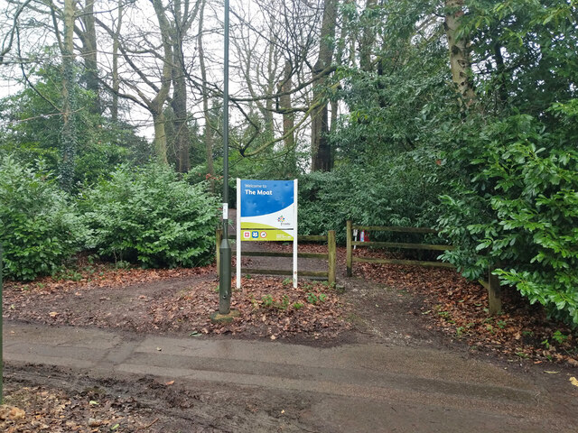
Image: © Robin Webster Taken: 2 Feb 2021
The Moat is a scheduled Ancient Monument, together with the earthwork along which this path gives access from the north. The public can only access (through a fence) most of one side, the rest is in private hands.
Images are licensed for reuse under creativecommons.org/licenses/by-sa/2.0
Image Location
Latitude
51.121559
Longitude
-0.152998