Boundary Marker on the A414 Wycke Hill
Introduction
The photograph on this page of Boundary Marker on the A414 Wycke Hill by sidsgranma as part of the Geograph project.
The Geograph project started in 2005 with the aim of publishing, organising and preserving representative images for every square kilometre of Great Britain, Ireland and the Isle of Man.

There are currently over 7.5m images from over 14,400 individuals and you can help contribute to the project by visiting https://www.geograph.org.uk
Boundary Marker on the A414 Wycke Hill
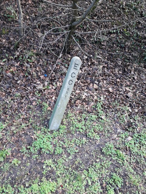
Image: © sidsgranma Taken: 29 Jan 2021
Highway Authority boundary marker on the east side of the A414 Wycke Hill. Maldon parish. Inscribed E / C / C / B / D / Y. Milestone Society National ID: EX_MALD02pb
Images are licensed for reuse under creativecommons.org/licenses/by-sa/2.0
Image Location
Latitude
51.722314
Longitude
0.662505