Up periscope?
Introduction
The photograph on this page of Up periscope? by Duncan Richardson as part of the Geograph project.
The Geograph project started in 2005 with the aim of publishing, organising and preserving representative images for every square kilometre of Great Britain, Ireland and the Isle of Man.

There are currently over 7.5m images from over 14,400 individuals and you can help contribute to the project by visiting https://www.geograph.org.uk
Up periscope?
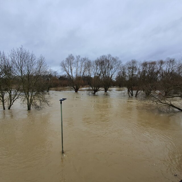
Image: © Duncan Richardson Taken: 26 Dec 2020
Submerged path, with light, by one stream of the River Great Ouse and adjacent Boating Lake, as seen from Longholme Bridge, after extensive flooding on Boxing Day.
Images are licensed for reuse under creativecommons.org/licenses/by-sa/2.0
Image Location
Latitude
52.132229
Longitude
-0.447682