Near the Hills Road end of Cherry Hinton Road
Introduction
The photograph on this page of Near the Hills Road end of Cherry Hinton Road by John Sutton as part of the Geograph project.
The Geograph project started in 2005 with the aim of publishing, organising and preserving representative images for every square kilometre of Great Britain, Ireland and the Isle of Man.

There are currently over 7.5m images from over 14,400 individuals and you can help contribute to the project by visiting https://www.geograph.org.uk
Near the Hills Road end of Cherry Hinton Road
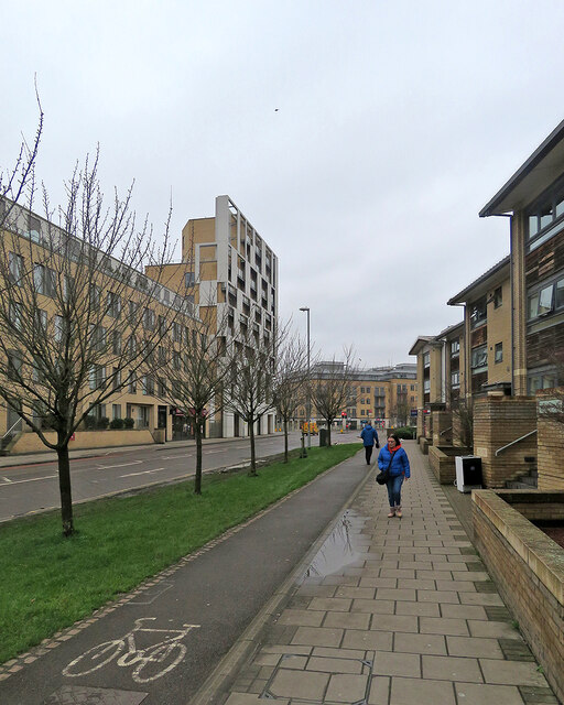
Image: © John Sutton Taken: 1 Feb 2021
This is a part of Cambridge which has changed out of all recognition in the 21st century - see, for example, Image] (2008), Image] (May 2012), Image] (September 2012) and Image] (May 2013).
Images are licensed for reuse under creativecommons.org/licenses/by-sa/2.0
Image Location


Leaflet Map data © OpenStreetMap
Latitude
52.189179
Longitude
0.13671