London Road, Washbrook
Introduction
The photograph on this page of London Road, Washbrook by Simon Mortimer as part of the Geograph project.
The Geograph project started in 2005 with the aim of publishing, organising and preserving representative images for every square kilometre of Great Britain, Ireland and the Isle of Man.

There are currently over 7.5m images from over 14,400 individuals and you can help contribute to the project by visiting https://www.geograph.org.uk
London Road, Washbrook
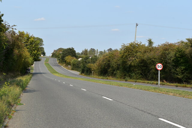
Image: © Simon Mortimer Taken: 11 Sep 2020
This stretch of road was formerly part of the A12 and was constructed as the single carriageway Washbrook by-pass in the 1930s and dualled sometime in the 1970s. Before its construction, the route took a sharp bend at Whight's Corner and passed along Chapel Lane, crossing Belstead Brook at Washbrook Bridge.
Images are licensed for reuse under creativecommons.org/licenses/by-sa/2.0
Image Location
Latitude
52.03665
Longitude
1.090072