Scarrow Hill
Introduction
The photograph on this page of Scarrow Hill by Catherine Bancroft as part of the Geograph project.
The Geograph project started in 2005 with the aim of publishing, organising and preserving representative images for every square kilometre of Great Britain, Ireland and the Isle of Man.

There are currently over 7.5m images from over 14,400 individuals and you can help contribute to the project by visiting https://www.geograph.org.uk
Scarrow Hill
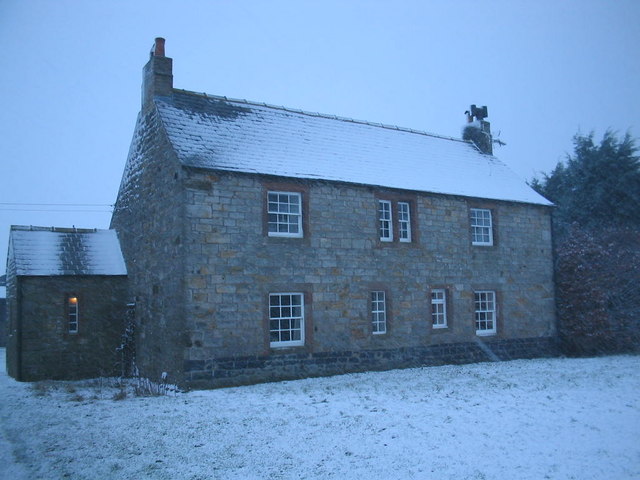
Image: © Catherine Bancroft Taken: 31 Dec 2007
Scarrow Hill is a Tudor house. All timbers tree ring dated at 1601.
Images are licensed for reuse under creativecommons.org/licenses/by-sa/2.0
Image Location
Latitude
54.949072
Longitude
-2.673652