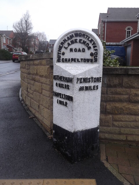
Old milestone
Introduction
The photograph on this page of Old milestone by Chris Minto as part of the Geograph project.
The Geograph project started in 2005 with the aim of publishing, organising and preserving representative images for every square kilometre of Great Britain, Ireland and the Isle of Man.
There are currently over 7.5m images from over 14,400 individuals and you can help contribute to the project by visiting https://www.geograph.org.uk

Image: © Chris Minto Taken: 3 Mar 2019
About ½ mile from the centre of Chapeltown on Burncross Road at Burncross Drive. This West Riding CC stone from 1893/94 is shown to the full height of the attachment. There will be another 20cm of stone under pavement level. All 4 fixing points can be seen. There is a hole in the top for previous use by Ordnance Survey. It was in front of a school building which was demolished, houses were built and the stone slightly repositioned. It is grade II listed 335445.

