Bobbits Lane Local Nature Reserve
Introduction
The photograph on this page of Bobbits Lane Local Nature Reserve by Simon Mortimer as part of the Geograph project.
The Geograph project started in 2005 with the aim of publishing, organising and preserving representative images for every square kilometre of Great Britain, Ireland and the Isle of Man.

There are currently over 7.5m images from over 14,400 individuals and you can help contribute to the project by visiting https://www.geograph.org.uk
Bobbits Lane Local Nature Reserve
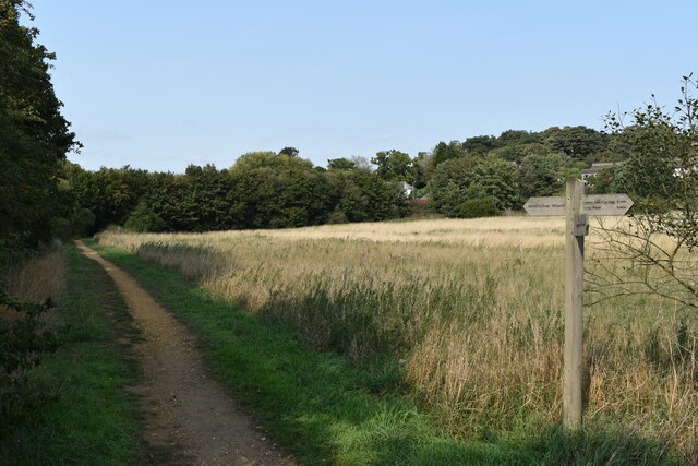
Image: © Simon Mortimer Taken: 11 Sep 2020
Bobbits Lane LNR is a 16 hectare site owned by Ipswich Borough Council comprising wet grassland along the flood plain of Belstead Brook.
Images are licensed for reuse under creativecommons.org/licenses/by-sa/2.0
Image Location
Latitude
52.033058
Longitude
1.123946