Capel Cefn-y-waen MC
Introduction
The photograph on this page of Capel Cefn-y-waen MC by Eric Jones as part of the Geograph project.
The Geograph project started in 2005 with the aim of publishing, organising and preserving representative images for every square kilometre of Great Britain, Ireland and the Isle of Man.

There are currently over 7.5m images from over 14,400 individuals and you can help contribute to the project by visiting https://www.geograph.org.uk
Capel Cefn-y-waen MC
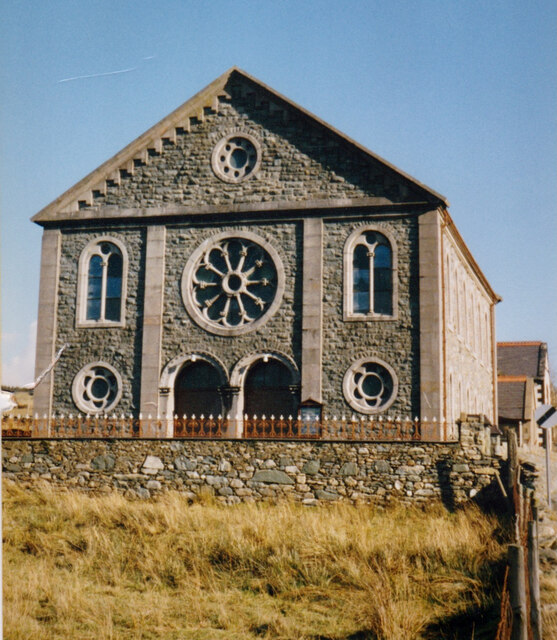
Image: © Eric Jones Taken: Unknown
This ornate Calvinist chapel, also known as Capel Cefn y Waun, on the moorland edge was added in the early 2000s to the list of chapels no longer viable and has been sold for conversion into two houses for people with disabilities. It was the last of the four Calvinistic Methodist chapels in the Deiniolen area to be closed the others being Disgwylfa, Ysgoldy and Dinorwig. https://www.coflein.gov.uk/en/site/6938/details/cefn-y-waun-welsh-calvinist-methodist-chapelcapel-cefn-y-waen-deiniolen
Images are licensed for reuse under creativecommons.org/licenses/by-sa/2.0
Image Location
Latitude
53.145315
Longitude
-4.116057