Old milestone
Introduction
The photograph on this page of Old milestone by Chris Minto as part of the Geograph project.
The Geograph project started in 2005 with the aim of publishing, organising and preserving representative images for every square kilometre of Great Britain, Ireland and the Isle of Man.

There are currently over 7.5m images from over 14,400 individuals and you can help contribute to the project by visiting https://www.geograph.org.uk
Old milestone
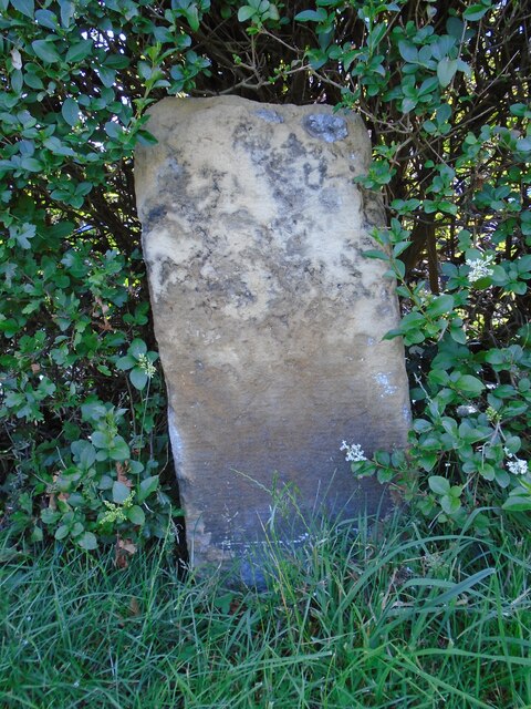
Image: © Chris Minto Taken: 7 Jul 2019
This old milestone on the B6164 at the north end of Wetherby where the road continues into Kirk Deighton village was in the West Riding prior to the 1970s. It is now on the border of West and North Yorkshire. With the damaged and eroded top half it may have originally been set deeper into the ground as the bottom half still shows much of its original surface. There were two Wetherby and Knaresborough turnpikes. The earliest was enacted in 1759 and the second in 1783. This stone may date from the late 18C.
Images are licensed for reuse under creativecommons.org/licenses/by-sa/2.0
Image Location
Latitude
53.942125
Longitude
-1.38877