Subway under A2011, Crawley Avenue
Introduction
The photograph on this page of Subway under A2011, Crawley Avenue by Robin Webster as part of the Geograph project.
The Geograph project started in 2005 with the aim of publishing, organising and preserving representative images for every square kilometre of Great Britain, Ireland and the Isle of Man.

There are currently over 7.5m images from over 14,400 individuals and you can help contribute to the project by visiting https://www.geograph.org.uk
Subway under A2011, Crawley Avenue
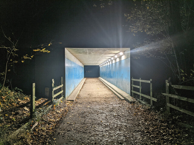
Image: © Robin Webster Taken: 24 Nov 2020
Presumably the Forge Wood (under development) and Pound Hill Crawley neighbourhoods will be connected via this for foot and cycle, but on the near side (Forge Wood) it looked like the formal route was not yet complete. It was hard to say in the dark, there was certainly no lighting.
Images are licensed for reuse under creativecommons.org/licenses/by-sa/2.0
Image Location
Latitude
51.13079
Longitude
-0.156631