Barrier on the Yeadon Cycleway
Introduction
The photograph on this page of Barrier on the Yeadon Cycleway by Stephen Craven as part of the Geograph project.
The Geograph project started in 2005 with the aim of publishing, organising and preserving representative images for every square kilometre of Great Britain, Ireland and the Isle of Man.

There are currently over 7.5m images from over 14,400 individuals and you can help contribute to the project by visiting https://www.geograph.org.uk
Barrier on the Yeadon Cycleway
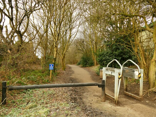
Image: © Stephen Craven Taken: 24 Jan 2021
The cycleway runs for 1.3km from Engine Fields to Ghyll Royd and follows most of the length of the former Yeadon branch of the Midland Railway that closed in 1964.
Images are licensed for reuse under creativecommons.org/licenses/by-sa/2.0
Image Location
Latitude
53.86248
Longitude
-1.690539