Roadside fence, Smardale Station
Introduction
The photograph on this page of Roadside fence, Smardale Station by Adrian Taylor as part of the Geograph project.
The Geograph project started in 2005 with the aim of publishing, organising and preserving representative images for every square kilometre of Great Britain, Ireland and the Isle of Man.

There are currently over 7.5m images from over 14,400 individuals and you can help contribute to the project by visiting https://www.geograph.org.uk
Roadside fence, Smardale Station
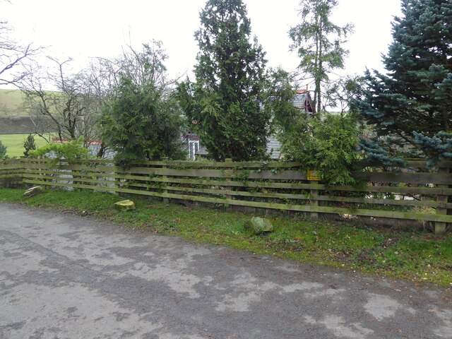
Image: © Adrian Taylor Taken: 27 Nov 2020
With the former Smardale Station building in the background, the roadside fence marks the approximate position of the parapet of a demolished and filled in railway bridge. There was an Ordnance Survey benchmark on the parapet somewhere near the position of the left hand stone; it marked a height of 222.6869m above sea level (Ordnance Datum Newlyn) and was last verified in 1970. Note the unofficial 'No Parking' sign on the fence; this is a popular starting point for walkers following the railway path to Smardale Gill.
Images are licensed for reuse under creativecommons.org/licenses/by-sa/2.0
Image Location
Latitude
54.468725
Longitude
-2.401693