On Windsor Hill
Introduction
The photograph on this page of On Windsor Hill by Kate Jewell as part of the Geograph project.
The Geograph project started in 2005 with the aim of publishing, organising and preserving representative images for every square kilometre of Great Britain, Ireland and the Isle of Man.

There are currently over 7.5m images from over 14,400 individuals and you can help contribute to the project by visiting https://www.geograph.org.uk
On Windsor Hill
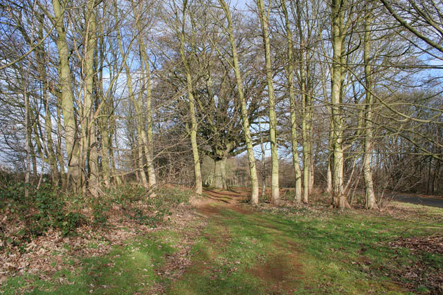
Image: © Kate Jewell Taken: 30 Jan 2008
To the west of the road at the top of Windsor Hill is Sir John's Belt, a band of beech trees; some old, probably part of an ancient avenue on the approach to Belvoir; many much younger. "John" is a frequent name in the Manners family, Dukes of Rutland of Belvoir Castle, but which John planted these old trees I do not know!
Images are licensed for reuse under creativecommons.org/licenses/by-sa/2.0
Image Location
Latitude
52.882461
Longitude
-0.791662