Junction of paths
Introduction
The photograph on this page of Junction of paths by Ian Capper as part of the Geograph project.
The Geograph project started in 2005 with the aim of publishing, organising and preserving representative images for every square kilometre of Great Britain, Ireland and the Isle of Man.

There are currently over 7.5m images from over 14,400 individuals and you can help contribute to the project by visiting https://www.geograph.org.uk
Junction of paths
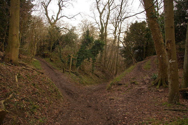
Image: © Ian Capper Taken: 26 Jan 2008
This junction is at the top of the North Downs scarp. The one to the left follows the top of the downs, to the right drops down to join the North Downs Way, and straight on is Buckland Lane, a "Byway open to all traffic" from Walton on the top of the downs towards Buckland at their foot, but I doubt if even the most off-road of 4WDs would be able to handle this one, given its steepness and narrowness.
Images are licensed for reuse under creativecommons.org/licenses/by-sa/2.0
Image Location
Latitude
51.26024
Longitude
-0.253219