Public footpath near Penn, Wolverhampton
Introduction
The photograph on this page of Public footpath near Penn, Wolverhampton by Roger Kidd as part of the Geograph project.
The Geograph project started in 2005 with the aim of publishing, organising and preserving representative images for every square kilometre of Great Britain, Ireland and the Isle of Man.

There are currently over 7.5m images from over 14,400 individuals and you can help contribute to the project by visiting https://www.geograph.org.uk
Public footpath near Penn, Wolverhampton
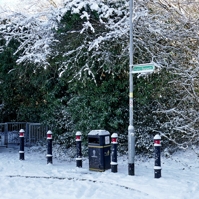
Image: © Roger Kidd Taken: 25 Jan 2021
At the top of Westminster Road, the footpath links Goldthorn Hill with Wakeley Hill, via Coton Road, pasture fields, and woodland on Colton Hills.
Images are licensed for reuse under creativecommons.org/licenses/by-sa/2.0
Image Location
Latitude
52.56283
Longitude
-2.139214