Brackenwood Road, Bromborough
Introduction
The photograph on this page of Brackenwood Road, Bromborough by Stephen Richards as part of the Geograph project.
The Geograph project started in 2005 with the aim of publishing, organising and preserving representative images for every square kilometre of Great Britain, Ireland and the Isle of Man.

There are currently over 7.5m images from over 14,400 individuals and you can help contribute to the project by visiting https://www.geograph.org.uk
Brackenwood Road, Bromborough
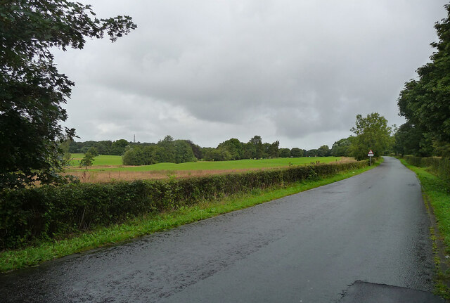
Image: © Stephen Richards Taken: 20 Aug 2014
A rather dull picture, but taken for a reason which may since have been nullified. This general area is a possible location of one of the most momentous and blood-soaked battles of Anglo-Saxon England, the Battle of Brunanburh in 937. The forces of Athelstan, King of England, defeated an alliance of the kings of Dublin, Scotland, and Strathclyde. After the battle, Athelstan became the most powerful man to rule in Britain since the Romans. The location of the battle has been much debated and has still not been identified. Bromborough's claim appears to rest on the name alone, but one piece of research pinpointed the area now covered by the golf course seen here on the left. However, it is still very much up for grabs, with, for example, the historian Michael Wood favouring a site near York.
Images are licensed for reuse under creativecommons.org/licenses/by-sa/2.0
Image Location
Latitude
53.342218
Longitude
-3.021597