Construction site, Hart's Lane, Exeter
Introduction
The photograph on this page of Construction site, Hart's Lane, Exeter by David Smith as part of the Geograph project.
The Geograph project started in 2005 with the aim of publishing, organising and preserving representative images for every square kilometre of Great Britain, Ireland and the Isle of Man.

There are currently over 7.5m images from over 14,400 individuals and you can help contribute to the project by visiting https://www.geograph.org.uk
Construction site, Hart's Lane, Exeter
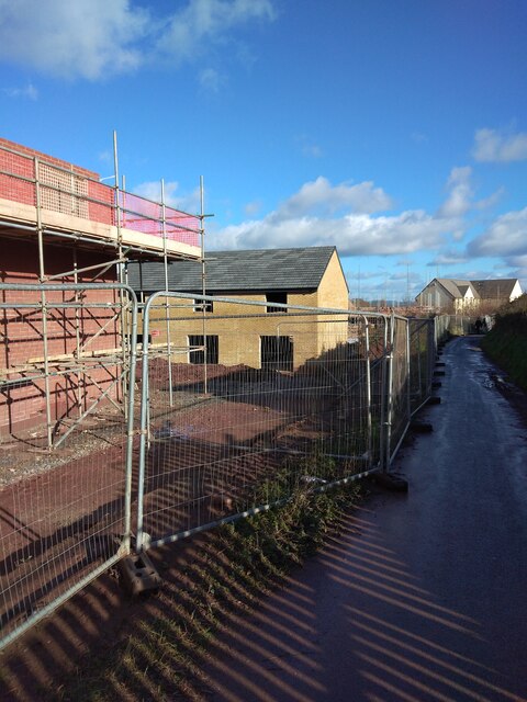
Image: © David Smith Taken: 23 Jan 2021
Hart's Lane is now a cycle path; the fields it once ran through are now being used for housing development
Images are licensed for reuse under creativecommons.org/licenses/by-sa/2.0
Image Location
Latitude
50.734394
Longitude
-3.474229