Part of Hart's Lane, Exeter
Introduction
The photograph on this page of Part of Hart's Lane, Exeter by David Smith as part of the Geograph project.
The Geograph project started in 2005 with the aim of publishing, organising and preserving representative images for every square kilometre of Great Britain, Ireland and the Isle of Man.

There are currently over 7.5m images from over 14,400 individuals and you can help contribute to the project by visiting https://www.geograph.org.uk
Part of Hart's Lane, Exeter
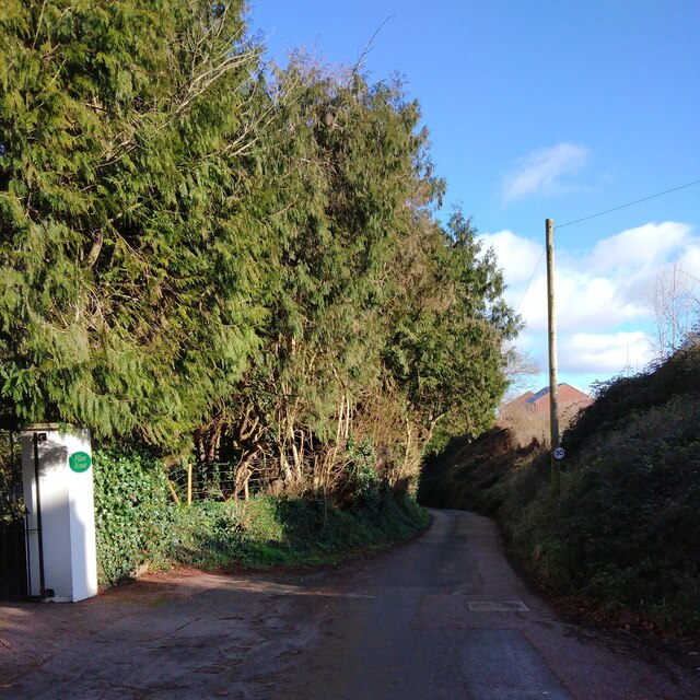
Image: © David Smith Taken: 23 Jan 2021
The road has been divided with a section that is a cycle lane; the eastern section gives access to a few houses. The 30mph sign is superfluous, given the width of the carriageway
Images are licensed for reuse under creativecommons.org/licenses/by-sa/2.0
Image Location
Latitude
50.733554
Longitude
-3.476612