Palmers Green : Pymme's Brook
Introduction
The photograph on this page of Palmers Green : Pymme's Brook by Jim Osley as part of the Geograph project.
The Geograph project started in 2005 with the aim of publishing, organising and preserving representative images for every square kilometre of Great Britain, Ireland and the Isle of Man.

There are currently over 7.5m images from over 14,400 individuals and you can help contribute to the project by visiting https://www.geograph.org.uk
Palmers Green : Pymme's Brook
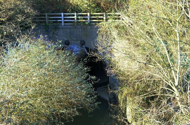
Image: © Jim Osley Taken: 23 Jan 2021
At the point where it flows under a railway line and the New River. Follow the Pymme's Brook trail - https://en.wikipedia.org/wiki/Pymmes_Brook_Trail.
Images are licensed for reuse under creativecommons.org/licenses/by-sa/2.0
Image Location
Latitude
51.614189
Longitude
-0.114002