Briset Park
Introduction
The photograph on this page of Briset Park by Marathon as part of the Geograph project.
The Geograph project started in 2005 with the aim of publishing, organising and preserving representative images for every square kilometre of Great Britain, Ireland and the Isle of Man.

There are currently over 7.5m images from over 14,400 individuals and you can help contribute to the project by visiting https://www.geograph.org.uk
Briset Park
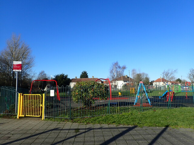
Image: © Marathon Taken: 22 Jan 2021
This small park was somewhat reduced in size when the Rochester Way Relief Road opened in 1988 through Kidbrooke and Eltham. Before that the southern boundary of the park was the Bexleyheath railway line.
Images are licensed for reuse under creativecommons.org/licenses/by-sa/2.0
Image Location
Latitude
51.458284
Longitude
0.040211