Minor road east of Ffair-rhos
Introduction
The photograph on this page of Minor road east of Ffair-rhos by Nigel Brown as part of the Geograph project.
The Geograph project started in 2005 with the aim of publishing, organising and preserving representative images for every square kilometre of Great Britain, Ireland and the Isle of Man.

There are currently over 7.5m images from over 14,400 individuals and you can help contribute to the project by visiting https://www.geograph.org.uk
Minor road east of Ffair-rhos
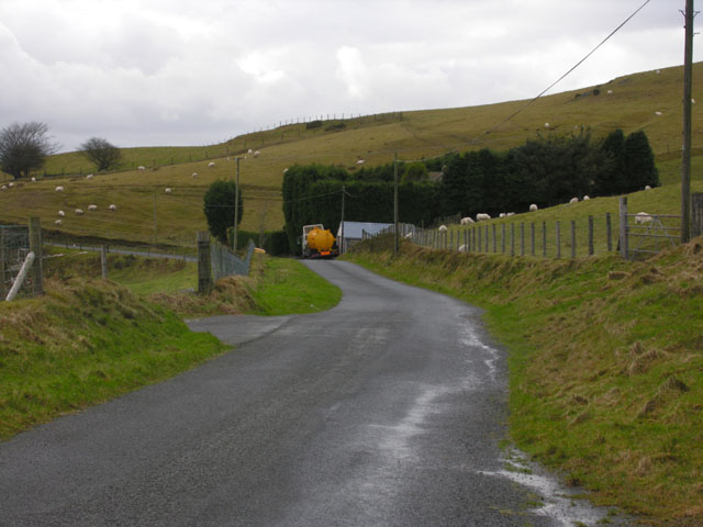
Image: © Nigel Brown Taken: 31 Jan 2008
This shows part of the road from Ffair-rhos to Llynoedd Teifi (Teifi Pools). Serving hill farms, and used by fishermen and walkers in the Llynoedd Teifi area, it follows one arm of an ancient route to the Elan valley.
Images are licensed for reuse under creativecommons.org/licenses/by-sa/2.0
Image Location
Latitude
52.297159
Longitude
-3.831931