Upper Cockington Lane
Introduction
The photograph on this page of Upper Cockington Lane by Derek Harper as part of the Geograph project.
The Geograph project started in 2005 with the aim of publishing, organising and preserving representative images for every square kilometre of Great Britain, Ireland and the Isle of Man.

There are currently over 7.5m images from over 14,400 individuals and you can help contribute to the project by visiting https://www.geograph.org.uk
Upper Cockington Lane
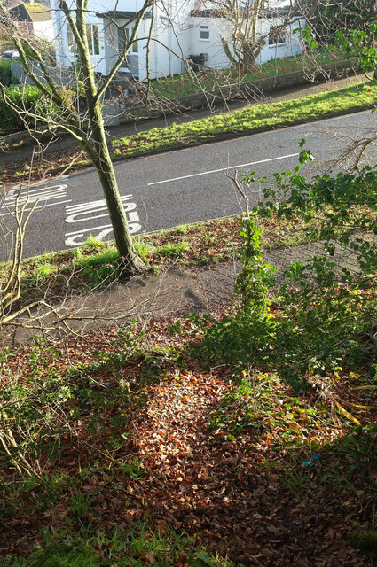
Image: © Derek Harper Taken: 16 Jan 2021
A road which becomes Drake Avenue at the top of the hill to the right. This view at the top of a bank among the trees shown in Image
Images are licensed for reuse under creativecommons.org/licenses/by-sa/2.0
Image Location
Latitude
50.473871
Longitude
-3.562504