Walsall Canal heading towards Wiggins Mill Bridge in 1979
Introduction
The photograph on this page of Walsall Canal heading towards Wiggins Mill Bridge in 1979 by Trevor Littlewood as part of the Geograph project.
The Geograph project started in 2005 with the aim of publishing, organising and preserving representative images for every square kilometre of Great Britain, Ireland and the Isle of Man.

There are currently over 7.5m images from over 14,400 individuals and you can help contribute to the project by visiting https://www.geograph.org.uk
Walsall Canal heading towards Wiggins Mill Bridge in 1979
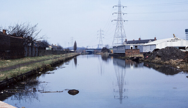
Image: © Trevor Littlewood Taken: 14 Apr 1979
The Walsall Canal heading north-north-west from beside the bridge carrying the A4037, Leabrook Road. Wiggins Mill Bridge can be seen in the distance.
Images are licensed for reuse under creativecommons.org/licenses/by-sa/2.0
Image Location
Latitude
52.548433
Longitude
-2.036087