A4071 near Cawston
Introduction
The photograph on this page of A4071 near Cawston by Stephen McKay as part of the Geograph project.
The Geograph project started in 2005 with the aim of publishing, organising and preserving representative images for every square kilometre of Great Britain, Ireland and the Isle of Man.

There are currently over 7.5m images from over 14,400 individuals and you can help contribute to the project by visiting https://www.geograph.org.uk
A4071 near Cawston
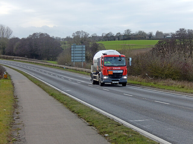
Image: © Stephen McKay Taken: 21 Jan 2021
Rugby's Western Relief Road was opened in 2010. In this view a Calor truck approaches the Whitefriars Drive roundabout; with traffic levels depressed due to the Covid-19 lockdown it is the only vehicle in sight.
Images are licensed for reuse under creativecommons.org/licenses/by-sa/2.0
Image Location
Latitude
52.364121
Longitude
-1.31208