Uppermill
Introduction
The photograph on this page of Uppermill by Paul Anderson as part of the Geograph project.
The Geograph project started in 2005 with the aim of publishing, organising and preserving representative images for every square kilometre of Great Britain, Ireland and the Isle of Man.

There are currently over 7.5m images from over 14,400 individuals and you can help contribute to the project by visiting https://www.geograph.org.uk
Uppermill
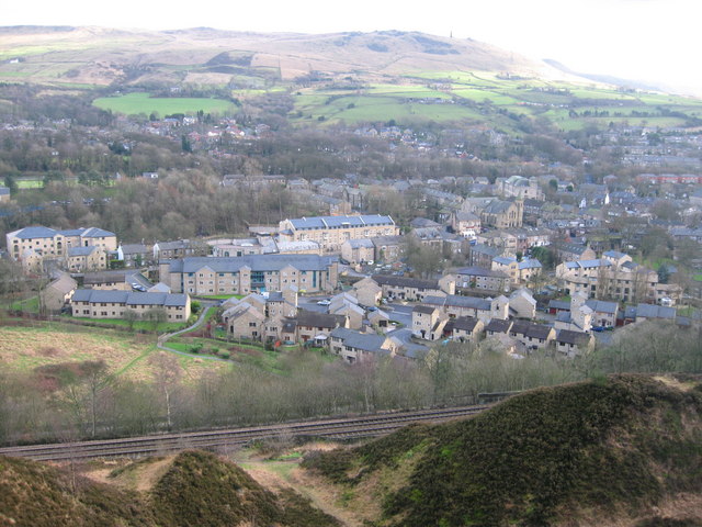
Image: © Paul Anderson Taken: 30 Jan 2008
The village of Uppermill has seen massive building of new property over the last ten years mainly to the North of the village. In the foreground is the main Huddersfield to Manchester railway line Image The monument on the top of the hill in the distance is Image
Images are licensed for reuse under creativecommons.org/licenses/by-sa/2.0
Image Location
Latitude
53.548834
Longitude
-2.005546